

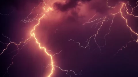
The arrival of the beautiful season makes itself desired, with June which begins under the sign of Maltempo. After a rainy May, the first days of the new month will be equally uncertain, with widespread showers and thunderstorms. But there is something unusual in the air: even the Dolomites will see snow falling up to altitudes of 1600 metres, a real surprise for this late season.
Towards the end of the weekend, another cold and unstable air mass will move over central Europe, bringing new severe weather conditions until mid-next week. During the Republic Day, Sunday 2 June, despite a relatively sunny morning, experts predict a new worsening, with rainfall concentrated mainly in Northern Italy. Thunderstorms will also return on Monday. However, from the following Wednesday, a more stable and warm period is anticipated, with the hope of finally seeing thearrival of summer.
Weather weekend June 2nd: a brief respite and then back in the rain
Saturday June 1th, with the arrival of the holiday weekend, the sun peeks out, although there will be some isolated thunderstorms, especially in the Alps and Pre-Alps, with the possibility of extending to the Piedmont plains. Elsewhere, there will still be plenty of sunshine. In the Centre, the sky will be mostly clear, in the South, variability between clouds and a few drops of rain especially on the peninsular regions, while on the major islands the sun will shine. Winds will be light to moderate, with slightly rough seas.
However, Sunday June 2 he doesn't seem to agree with the concept of celebration. The clouds thicken again, bringing with them irregular showers. In detail, in the North, the morning will be sunny with some clouds over Liguria. In the afternoon, thunderstorms will develop especially in the Ligurian hinterland, the Emilian ridge and the Alpine and pre-Alpine areas, and then extend towards the plains between Lombardy, Triveneto and Emilia Romagna. In the Centre, the morning will still be sunny, but in the afternoon thunderstorms will form along the Apennines, with the possibility of extending towards the Adriatic hinterland during the evening and night. In the South, clouds and some showers will affect Campania, Puglia and Basilicata, while on the larger islands there will be variability. Temperatures, however, will not undergo major variations.
From the point of view of the temperature, after a brief drop in temperatures in the North, the weekend will give us some relief with maximum values between 21 and 25°C in the Centre-North. In the South, however, the summer heat is already being felt, with peaks reaching 29-30°C in Puglia and Calabria, and over 32°C in Sicily.
Despite Monday 3 and Tuesday June 4th are still characterized by incoming storms, there is a light at the end of the meteorological tunnel: theanticyclone is coming. Experts predict that by the second weekend of June, it will bring with it a more stable and summery climate, with rising temperatures.