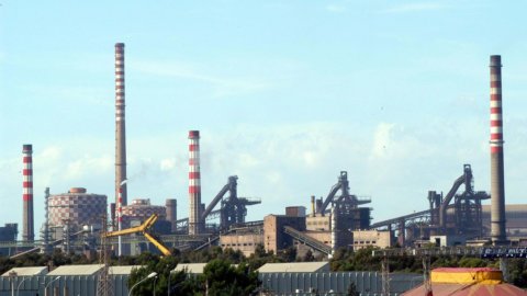

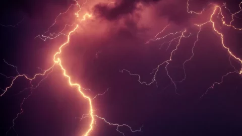
The wave of hot african, which has been tormenting Italy for weeks, it's not over yet. However, northern regions will soon enjoy some relief, with a drop in temperatures expected this weekend. Although the heat remains persistent and the sultriness continues to be felt, the coolness will come with storms, hail and intense temporal which will especially affect the North part. The Tuscan-Emilian ridge and Puglia will also be able to experience locally intense phenomena. There next weekhowever, there will be temperature down everywhere.
Red-sticker cities: here's what they are
As announced by the Ministry of Health, the heat will persist in several Italian citiesred dot” throughout the weekend. For Saturday July 20, Well 17 city will be on maximum alert: Ancona, Bari, Bologna, Bolzano, Brescia, Campobasso, Florence, Frosinone, Latina, Palermo, Perugia, Pescara, Rieti, Rome, Trieste, Verona and Viterbo.
Sunday July 21th, the maximum alert will be in force in 12 city: Ancona, Bari, Campobasso, Florence, Frosinone, Latina, Palermo, Perugia, Pescara, Rieti, Rome and Viterbo. These emergency conditions are determined by heat waves which can have negative health effects, not only for the elderly and children, but also for healthy and active people.
Weather, forecast for the weekend
Saturday July 20
Al North part the change will be more noticeable, with the influence of fresh air from Northern European sectors becoming stronger. Thunderstorms will become more frequent and intense, initially affecting the Alps and subsequently extending towards the Triveneto. Significant hailstorms and strong gusts of wind are expected.
Al Centro the sun will continue to prevail, but temperatures will remain high, with peaks of 38 degrees in Florence and in the capitals of the major islands. No significant rainfall is expected, but the heat could be annoying.
Al South the African heat will persist with temperatures close to 40 degrees in some areas. The sky will be mostly clear, but the high humidity could make the heat much less bearable.
Sunday July 21
Al North part, cool air will continue to impact the weather, with thunderstorms intensifying and extending rapidly. The phenomena will be particularly strong in the Alpine and pre-Alpine areas of the Northwest, and then move towards the Triveneto. Large hailstorms and sudden gusts of wind are expected. Towards the evening, storms will also reach the northern plains and Emilia Romagna, offering temporary relief from the heat, but with possible inconvenience.
Al Centro the sky will begin to cloud over during the day, with the probability of precipitation increasing towards the evening. Temperatures will remain high, but the drop in heat will be felt thanks to the passage of storm systems.
Al South the sun will continue to shine, but temperatures will gradually begin to drop. Conditions will remain warm, but the climate will be less muggy than in previous days.
Next week
With the beginning of next week, the mistral, a less warm wind than the African anticyclone, will bring a lowering of temperatures and a decrease in humidity. A more windy and cloudy climate is expected, with possible precipitation in the mountains and the arrival of a thunderstorm towards the second half of the week.