
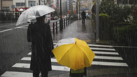
The Italy prepares for a long “wet” week under the dominion of Maltempo. According to the experts' forecasts, from today Tuesday 27 February a succession of days characterized by "daily rain" is expected. Unfortunately, the meteorological situation does not seem to promise improvements in the near future.
The person responsible for this series of phenomena is an Arctic cyclone that has already made its entry and continues to affect the climate on a large part of the peninsula. Consequentially, rains e temporal they will be a constant of the current week, bringing with them a decidedly unstable and humid atmosphere.
Weather, bad weather hits Italy: here's where
Adverse weather conditions will not only spare the northern regions, but there is also particular attention paid to central regions, especially the Tyrrhenian ones like Sardinia, Toscana e Lazio. Here heavy rains are expected, while the situation appears less intense in the Brands and Umbria, with more moderate showers. The Apennine areas will see significant accumulations of snow above 1400-1500 meters above sea level. The bad weather seems to provide no respite, with a phase of instability that could continue until next week.
In Southern Italy, however, a milder and more variable situation is expected, with intermittent large clearings. It is as if Italy were divided in two: on the one hand, the North and the Center face the cyclonic vortex coming from France, while on the other the South enjoys calmer and more temperate conditions.
Civil Protection alert states
La Civil protection has issued alert states to deal with the adverse weather conditions that have affected some areas of the Peninsula. From today on Veneto is located in red alert for hydrogeological risk, while Emilia Romagna and Lombardy, Toscana and other areas of Veneto are in orange alert. yellow alert it concerns Friuli-Venezia Giulia, Trentino Alto Adige, some parts of Lombardia, Piedmont, Emilia Romagna and Lombardy, Liguria, Toscana, Umbria, Lazio e Sardinia.
Due to these weather conditions, different schools in the municipalities of the provinces of Livorno, Grosseto and Massa Carrara were closed.
Weather forecast: how long will the bad weather last?
Here's a quick summary of the forecast:
- Tuesday February 27: widespread bad weather in the North, rain in Tuscany, Lazio, Sardinia and Umbria in the Centre, mild climate in the South.
- Wednesday February 28: widespread rains in the North, worsening on the Adriatic and eastern Sardinia in the Center, thunderstorms in Sicily and Calabria in the South.
- Thursday February 29: rains in Emilia-Romagna, then across all regions in the North, bad weather in the Adriatic and eastern Sardinia in the Centre, bad weather in Sicily and Puglia in the South.
Le temperature they will follow the play of the weather, with lower values in case of rain and milder with clear spells.
The trend for the weekend predicts a further deterioration with rain arriving on Friday and over the weekend. The question is: when will this bad weather end? According to current trends, the phase of instability is expected to persist until next week, with a progressive improvement between Wednesday 6 and Friday 8 March.