
Il Mediterranean vortex expected in recent weeks has come into action and will intensify in the next few hours between the Balearics and Sardinia hours, bringing a worsening weather conditions over most of Italy.
Between the days of Monday and Tuesday the phenomena will tend to concentrate above all on Tyrrhenian sectors, on the Islands and in the North West, resulting also of strong intensity and thunderstorms in Sardinia, with accumulations close to 100 mm in the eastern sectors.
On Wednesday the depression vortex will tend to end in the western Mediterranean, but the rains will still persist in the North West (especially in the morning) and above all in eastern Sardinia and the Ionian regions. From Thursday, anticyclonic conditions will return to all of Italy except for residual variability on the major islands.
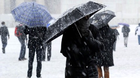
Le the areas most affected will be those between Piedmont and the Ligurian Apennines, because the combination of pre-existing cold and abundant rainfall rising from the south will cause snowfall up to low altitudes, with some centimeter also in the plain between the provinces of Turin, Cuneo, Asti and Alessandria. Even here the snow level will tend to rise again starting from Tuesday, despite the situation in Turin you seem to stabilize towards another day of consistent snowfall.
In the Apennines, in the areas affected by the earthquake in central Italy, possible snowfalls above 800 meters are expected tomorrow afternoon, with low quantities and snow levels gradually increasing since the night.
Meanwhile, the Civil protection issued a notice of adverse weather conditions regarding Sardinia. From the early hours of today, Monday 19 December, the warning forecasts scattered to widespread rainfall, including downpours or thunderstorms, over Sardinia. From the afternoon-evening the rainfall, from scattered to widespread, even of a downpour or thunderstorm nature, will also affect Sicily, extending to Calabria. In all three regions affected, the storm phenomena will be accompanied by heavy showers, frequent electrical activity and strong gusts of wind.
On the basis of the expected phenomena, a red alert was assessed for tomorrow in Sardinia, on the Campidano, on the Iglesiente and on the Flumendosa – Flumineddu basins; orange alert, however, in Gallura and on the Montevecchio - Pischilappiu basins. Finally, yellow alert on the Tirso Basin and Logudoro in Sardinia, and on Ionian Sicily.
If in the next three days, in addition to very cold temperatures, we will also face heavy thundershowers, the bad weather should stop for the post-Christmas period: here are the weather forecasts for the period 26/12 – 02/01.