
Is the big heat really over? It's still too early to tell, but for the next few days, yes. According to experts, however, the climatic picture remains marked by great variability and it is difficult to outline precise scenarios, especially for the key week of the summer in which millions of Italians will celebrate August XNUMXth and the long-awaited holidays.
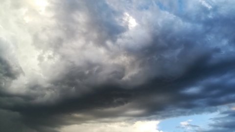
The "culprit" is the Azores anticyclone rising towards Northern Europe and bringing low pressure to the Peninsula, especially to the South where it will have the effect of causing showers - even thunderstorms - lasting a couple of hours. But the summer season is far from in crisis as the whole Mediterranean area continues to be enveloped by high pressures.
Is the heat over? Wandering week for the weather: thunderstorms from north to south
Over the past weekend heavy thunderstorms have already lashed the Alpine arc and the northern regions, with hail e strong gusts of wind which caused various damages in many cities and a confirmed victim in Turin. The flow of cooler currents will also continue in the following days, starting a decidedly more eventful phase after so many weeks of heat.
Even if it's too early to know Ferragosto weather forecast, it would seem that the novelty that emerged from the last update concerns the northernmost part of our country; while on the rest of Italy the African anticyclone will only take a break and then expand more and more on the Mediterranean basin, supported by hot air masses arriving directly from the Sahara Desert. If this situation were to be confirmed, it would be reasonable to expect for August 15th plenty of sunshine with maximum temperatures that will quickly rise well over 36 degrees and which will concern the Tyrrhenian sectors and the inland areas of Sardinia.
Meanwhile, let's see what the weather forecast says for the next few days.
Weather forecast: Monday 8, Tuesday 9 and Wednesday 10 August
Monday 8, the North will have sunny skies with less oppressive temperatures and some residual showers. In the Centre, on the other hand, it will be characterized by good weather, then numerous thunderstorms on the hills and nearby areas. In the South: many afternoon thunderstorms in the Apennines, neighboring areas and also in eastern Sicily.
Da Tuesday 9 August the weather in the North will be more stable. While in the Center it will start to get worse from the afternoon with lots of thunderstorms. In the South afternoon thunderstorms in all regions.
In the day of Wednesday 10, the North will be characterized by partly cloudy skies, while rains will be possible on the hills in the afternoon. At the Centre, the afternoon instability in the Apennines and in the inland areas of Sardinia is the protagonist. Severe thunderstorms across the southern regions.