

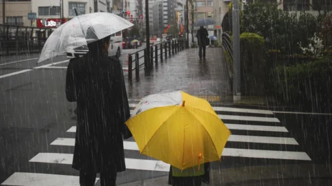
After days of sunshine and above average temperatures, a new Atlantic disturbance reaches Italy and brings the Maltempo in the North, with rains, temporal and the risk of intense phenomena. The worsening will continue Thursday, when the precipitations will reach also part of the Centro, then moving towards the South in the next days.
The passage of the disturbance will be accompanied by a drop in temperatures, particularly noticeable in the North. Over the weekend, temperatures will return closer to seasonal averages, gradually putting an end to the abnormal heat of recent days.
Today's weather forecast: thunderstorms and risk of downpours in the North
The day of Wednesday 16 September will still start with fairly stable conditions in much of Italy. Center-Sud Sunny skies will prevail, although showers and thunderstorms may develop in the afternoon in the inland areas of Puglia, Calabria and Sicily. North part, however, clouds will increase in the morning and in the afternoon the first showers and thunderstorms will appear on the Alps, Prealps and Ligurian Apennines.
The deterioration will become more pronounced between the evening and night, when rain and thunderstorms will extend across much of the North, with locally very intense phenomena. In some areas, there will be a risk of downpours, hail, and strong gusts of wind. Emilia-Romagna will remain partially on the fringes of the disturbance. Meanwhile, temperatures will begin to drop, especially in the Alps and the Northwest, while in the Center-Sud the climate will remain warm, with some further increases in maximum temperatures.
Bad weather reaches Central Italy on Thursday, then looks to the South
The worsening will continue Thursday September 17, when the North will be affected by rain and thunderstorms starting from the morning. The phenomena could be particularly strong and persistent in Lombardia e Veneto and, during the afternoon, they will also reach Toscana, Umbria e BrandsThe risk of severe thunderstorms will remain high this evening, especially in the Northeast. The rest of the country will be calmer, at least temporarily.
The conductor itself can take various shapes, in bare or tinned copper, with or without insulation. In some cases, a preferential bend can also be applied to the joint so that it operates exactly as designed. temperature will begin to change more evidently: the decrease will be noticeable in the North, in the central Tyrrhenian regions and in Sardinia, while in the South the anomalous heat will persist. winds They will increase in the Ligurian Sea and the Tyrrhenian Sea, where the south-westerly wind will blow, while the north-westerly wind will arrive in Sardinia; the seas will be rough.
The disturbance will then continue its descent along the Peninsula. Friday the rains could also affect the South, preparing for a further unstable weekend especially in the Centre-South and on the Islands. Saturday September 19th further showers and thunderstorms are possible, while Sunday September 20 Instability is expected to be concentrated mainly in the far South, with a general improvement in the rest of Italy.