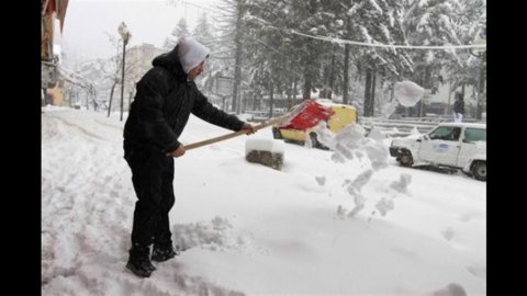
Winter hasn't finished shooting its cartridges yet and February continues to show itself as a month with great winter potential. Also in the next few days we expect the arrival of new perturbations which will prolong a phase of time sometimes disturbed and characterized by temperatures below the average for the period. In fact, the Mediterranean will become a collision zone for two air masses with different characteristics: cold air from Russia will arrive from the east; from the west the milder Atlantic one. A low pressure will form on the Tyrrhenian Sea which will bring even intense bad weather starting Thursday on a large part of the peninsula for another seven days.
The northern regions will then find themselves under the fire of the icy winds of Bora and Tramontana; it will snow several times at low altitudes, up to the plain in many areas. Severe thunderstorms will hit the Tyrrhenian Sea while in the South the warmer Sirocco winds recalled by the depressive structure will favor spring-like temperatures.


