
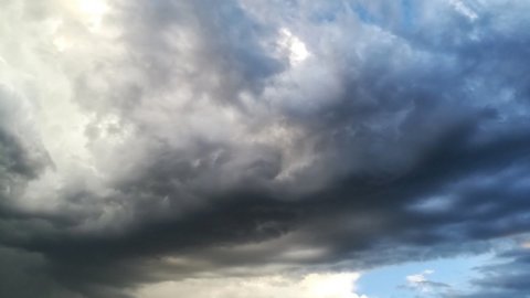
After a Monday characterized by the dominance of the North African anticyclone, a phase awaits us weather more dynamic. Starting from Tuesday 9th April, high pressure will begin to weaken as a disturbance makes its way towards the Northwest. The first rainfall are expected in the regions of Val d'Aosta and Piedmont. Starting Wednesday 10 April, the Maltempo It will hit the North strongly, bringing thunderstorms, possible hailstorms and gusty winds. Lombardy, especially Milan, will be among the areas most involved, together with many areas of the Po Valley. The rains will also reach Emilia, the Dolomites and western Veneto, in particular the Garda area. Other regions of Italy will see an increase in clouds, with some rain expected in Tuscany and Sardinia, without particularly intense phenomena.
It will not only be rain that will make its appearance, but also an increase in wind, especially in the western seas, where an intense mistral is expected which could disturb the waters, especially in Sardinia. The seas involved will be rough or even rough. Temperatures will drop, especially in the North, in Sardinia and in the middle Tyrrhenian Sea, returning to more typical values after the unseasonal heat.
Summer heat coming: how long will it last?
Starting from Friday 12 April, the anticyclone will make its triumphant return to Italy, this time embodied by the Azores anticyclone. This will bring stable weather conditions, a mild climate, and temperature above the average for the period.
Maximum temperatures will be between 20 and 25 builds, with locally higher peaks especially in the North, on the Tyrrhenian regions and on the larger islands. It would therefore appear that after a more uncertain period, Italy can once again look forward to a sunny spell towards the end of the week, just in time for the weekend of April 13th and 14th.
Ma how long will it last this heat wave? According to experts, there will be another reversal. The long-term trend currently shows an interruption of the exceptionally warm phase expected between April 16th and 18th. This will be caused by the arrival of cold air of polar origin in the heart of the Mediterranean Sea, driven by another Atlantic disturbance. At this juncture, the possibility of some snowfall in the Alps cannot be ruled out, even at altitudes below 1500 metres.