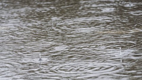
THEsummer late in coming and it will still be the rains that dominate this festive weekend. The Bridge of 2 June is likely to be compromise from bad weather: in fact, there are many regions that will have to deal with new storms, even of strong intensity, albeit interspersed with more sunny spaces. The cause of this uncertain climate drift of lack of a high pressure area at Mediterranean latitudes. The Azores anticyclone which guarantees good weather and sunshine is stationed between Great Britain and Scandinavia while in the Mediterranean basin we find a vast area of low pressure with several cyclones responsible for bad weather and thunderstorms.
Changeable weather all weekend
Le weather conditions will be quite variable all weekend. On Friday 2 June, we will have to pay close attention to the Alps, the central-eastern Pre-Alps, the centre-south (inland and Tyrrhenian areas) and the two major islands. There will be more lightening on the northern plains and along the Adriatic coasts, with maximum temperatures up to 28°C. This situation will continue into the weekend. On Saturday 3rd, further infiltrations of fresh air at high altitudes will favor the development of thunderstorms, even strong ones. The thunderstorms will begin in the morning in the northern regions and in the afternoon they will also extend to the center and Sardinia, especially in the inland areas, with possible encroachments on the Tyrrhenian coasts. Particular attention should be paid in the area between Piedmont and Lombardy, where extreme weather events such as hailstorms and very strong winds could occur. Sunday 4 June will be the most unstable day: there will still be showers and thunderstorms, especially in the centre-north and in Sardinia. In the South there will be more clear spells, and temperatures will gradually increase, with maximum peaks of up to 29°C in Puglia.
Here in detail what should we expect in the days of the Bridge.
Friday June 2th
North the day will start with the sun, but in the afternoon some showers will form in the pre-Alpine areas, in the Piedmontese Alps and in the Apennines, with thunderstorms that could reach the Emilian and Triveneto plains in the evening, subsiding later. Temperatures are expected to drop. In the center there will be sun or few clouds in the morning, while in the afternoon showers and thunderstorms will form in the Apennines, especially in Tuscany, where there could be local hailstorms. Possible showers also in the inland Tyrrhenian areas, especially in Tuscany with storm phenomena that will ease during the evening. Al South sky initially partly cloudy, but in the afternoon showers and scattered thunderstorms will develop along the Apennines and in the internal areas of the islands, more frequently in the Campania-Lucania sector and possible encroachments on the Tyrrhenian coasts.
Saturday June 3th
North first phenomena already in the morning on the high plains of the Triveneto which will extend to the Emilian and Lombard ones. During the day, showers and thunderstorms are also expected on the plains of the Northwest (where they will persist until the evening) and on the Alps, Pre-Alps and high plains of Lombardy-Venetia, locally strong and with hail close to the reliefs; drier and sunnier on Liguria and the Adriatic coasts. In the center mostly sunny day, but instability will arrive in the afternoon with rain and thunderstorms between Lazio and Abruzzo. Al South few clouds in the morning, then instability increasing from the afternoon with rains and thunderstorms in the Apennines and in the internal areas of the islands, more frequent in the Campania and Sardinian hinterlands, decreasing in the evening.
Sunday June 4th
North some rain in the morning in the Northwest while from the afternoon there will be increasing instability in the Alpine and Apennine reliefs with showers and thunderstorms, locally strong winds, accompanied by hail, and phenomena that will continue intermittently until the evening. In the center partial clearing in the morning, then increasing instability from the afternoon with rains and thunderstorms on the internal Tyrrhenian and Apennine areas in general, encroaching on the Adriatic coasts by evening, locally strong and hailstorms. Al South lightening in the morning, variability from the afternoon on the Apennine areas with some showers attenuating in the evening. Greater instability in Sardinia with showers already in the morning and thunderstorms in the afternoon, locally strong.


