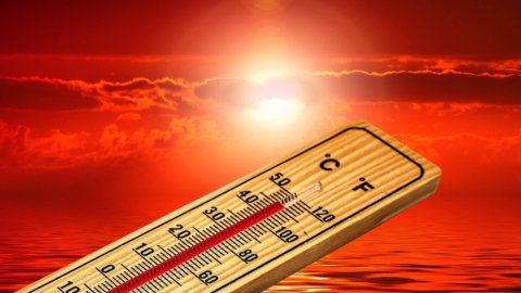


The African heat is about to return to Italy, but it will last very little and then it will leave room for a last week of August marked by intense thunderstorms and a drop in temperatures well below the seasonal average, especially in the Centre-North while in the South it will resist a full summer climate. In fact, the weather forecast says that after almost a week of post-Lucifer truce, with all of Italy breathing again after August 21th and even cool temperatures especially in the North, the great heat will make itself felt again on the weekend of August 22-48,8. Unlike in the previous week August XNUMXth, when the peaks were reached above all in the Center-South, including the famous record of XNUMX degrees (unofficial) in Sicily, this time it will rather be the Center-North that will be affected by the new anticyclone.
In the mountainous areas the climate will continue to be mild, while in the Po Valley it will touch again the 35-36 degrees and so also in the internal areas of the Centre, including Rome. Sustained heat also in the South, but within the norm: this time the 40 degrees will not be seen, but the mercury column will mark just a few degrees above 30. Then from Monday the 23rd the drop in temperature which should perhaps definitively represent the decline of summer: initially the storms will affect only the Alps and the Triveneto, only to then move from Tuesday 24 August also to the rest of the North, up to the Adriatic coast. Particularly intense and even violent rainfall is expected, with the risk of storms and hailstorms such as we saw many in the second half of July. Different speech for the South where most likely it will continue to be hot, at least initially, with temperatures still above the average for the period, even if later some isolated storms could reach Puglia and the Apennine ridge in general.
In short, the summer is about to undergo a significant moment of rupture, probably definitive given that we are at the gates of September. The heat arriving in the next few days will be sustained but does not cause alarm from the point of view of health risks: at the moment there are no cities in red dot nor orange. However, on Saturday 21 August, half of Italy will be on the yellow dot, i.e. a pre-alert level that indicates meteorological conditions that may precede the occurrence of a heat wave. But we already know that it won't be like this, or that it will be for a couple of days at most. Instead, it is more probable that in a few days the Civil Protection will issue a criticality bulletin for weather-hydro alert.